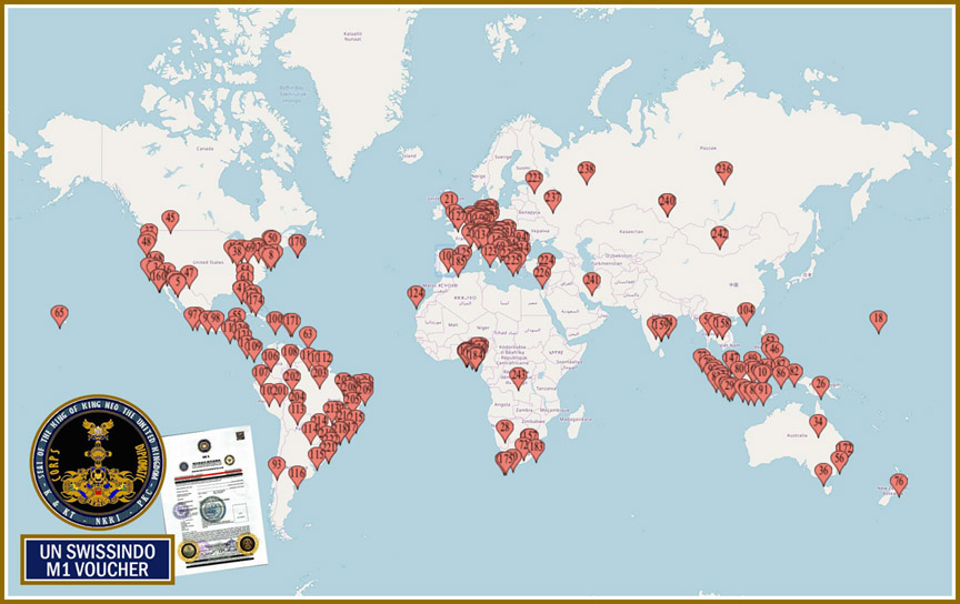



EXIF plus ranked location candidates.
Image geolocation in OsintX returns two kinds of result. One is GPS data stored in the photo itself. The other is a ranked list of city or region candidates. They deserve very different trust.
EXIF GPS
Some photos carry GPS coordinates in their EXIF data. When they are present, they show where the camera was when the photo was taken, and OsintX shows them with a map style preview. Many apps and social networks remove EXIF data on upload, so a photo from a feed often has none. A photo that was edited or saved again can also carry changed values.
Ranked candidates
When there is no usable GPS, the result lists cities or regions in ranked order. A candidate is an estimate based on the image. Read the rank as a hint about where to look first, not as an answer.
How much weight each result deserves
- GPS from the original file is strong, but check that the file is the original
- The top ranked candidate is a starting point for manual checks
- Lower candidates matter only if the first checks fail
Before you upload
- Use the original file whenever you can, not a screenshot
- Crop only if you must, because the full frame carries more clues
- Check the credit cost of the module before you run many images
Privacy
A photo of a private home or a private person is sensitive. Only run images for a lawful purpose and read the ethics policy first.